Why Western Port needs its own app
If you fish Western Port you already know — tides run hard, channels shift with weather, and the productive grounds are different from PPB. A worldwide fishing app doesn't care about that. We do, because we live here.
What BayCast does for Western Port
- Full bathymetry — every channel, sandbank and reef edge. North arm, south arm, French Island and the eastern entrance.
- Live tides — Western Port runs ~2.5 m tides, planning matters. We pull live BoM data per location, not generic predictions.
- Wind forecast — direction matters more here than anywhere else, the bay opens south-west and a fresh southerly turns the entrance ugly fast.
- Bite forecast — barometer, moon, tide window combined into a simple "good / fair / poor" read.
- Fuel cost per trip — Western Port runs are longer than PPB; knowing the dollar cost before you launch saves arguments.
- Catch diary — your catches stay private, with EXIF photo verification for trophies.
- Public marks — boat ramps, popular fishing spots, safety hazards. We tidied the publicly-known ones into one place.
Western Port target species
| Species | Best season | Where |
|---|---|---|
| Snapper | Oct – Dec | North arm channels, Corinella |
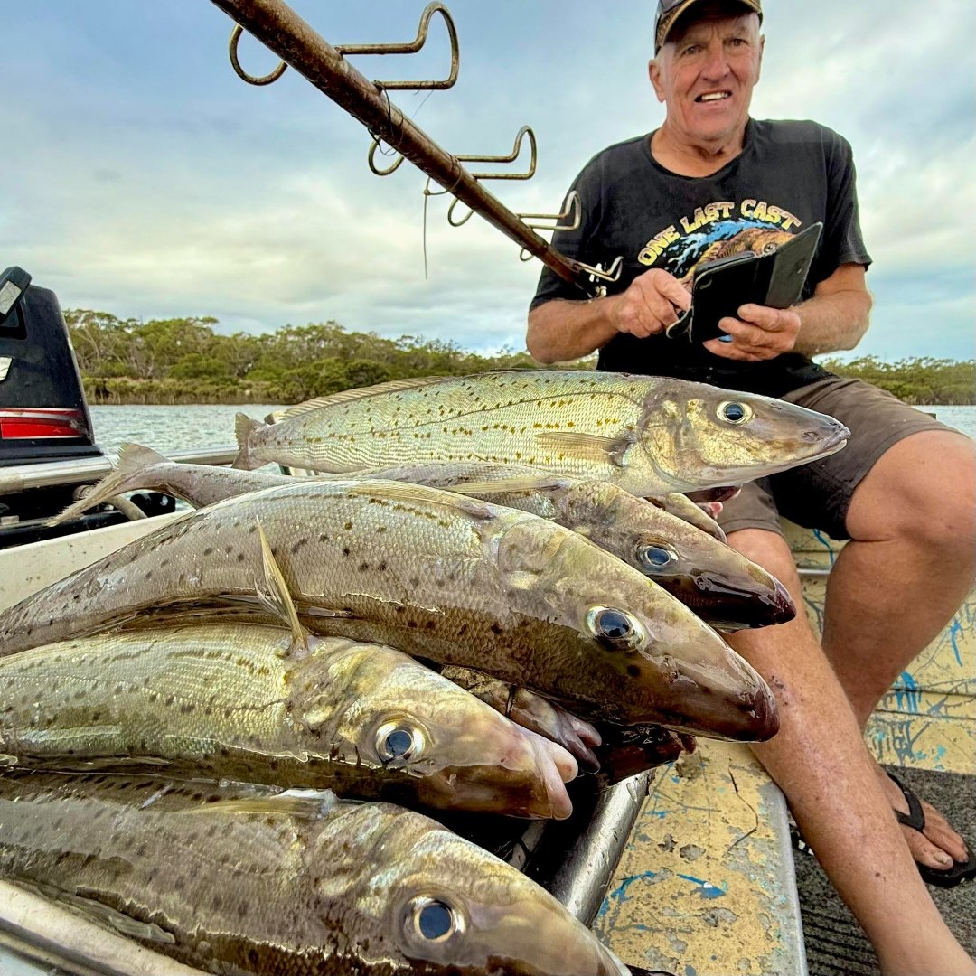
| King George Whiting | Year round, peak Dec–Mar | Stony Point banks, Corinella |
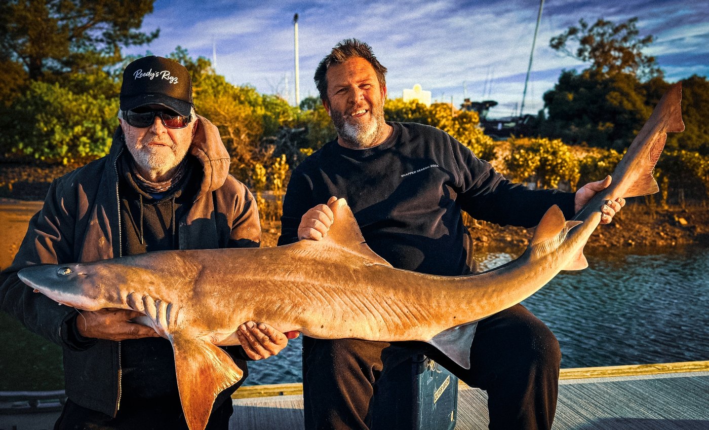
| Gummy Shark | Year round, big runs autumn & spring | Eastern entrance, deeper channels |
| Elephant Fish | Apr – Jun (autumn run) | Inner Western Port flats |
| Calamari | Year round | Stony Point, Cowes weed beds |
Best ramps
- Stony Point — main workhorse, all-tide, ferry terminal alongside.
- Hastings — northern-arm access, marina protected.
- Corinella — best access to inner-port snapper and elephant fish grounds.
- Newhaven (Phillip Island) — eastern-entrance launch, deeper water.
Stop guessing. Open BayCast.
Free version covers chart, wind, tide, diary and public marks. Pro adds bite forecast, range to spot, fuel cost and measuring tools — $89/year with code EARLY40, or $9.99/month.
GPS marks — drop, save, send to your sounder
Western Port runs harder than the Bay — your GPS marks need to be exact. BayCast lets you drop pins, save them, and export them as a file your Lowrance, Garmin or Humminbird can read. No more printing the same Western Port bay fishing map PDF every season.
BayCast holds the kind of marks Port Phillip and Western Port anglers actually share — including:
- western port fishing GPS marks for snapper, gummy shark and whiting
- western port fishing GPS marks PDF alternative — keep them in the app, not on paper
- snapper report western port bay shared by anglers in your zone
Sign up and drop a pin → How drop-pin works
Compatible with Lowrance, Garmin and Humminbird — export as GPX, drop on your SD card, done.
Also commonly searched and answered inside the app: western port land based fishing spots, kayak fishing western port bay, pier fishing western port bay.